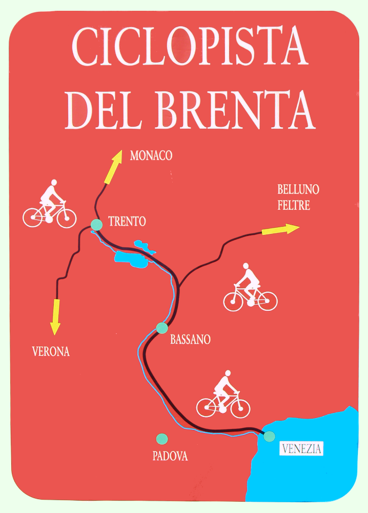
Detailed directions about the route can be obtained from the altimetry (last figure of the gallery), from the captions of the individual photos and from the "Google Map" at the bottom right, which can be enlarged as desired. Double clicking on the photos you can view them at the highest resolution.
Description of the route


As an alternative to the bike route of the Brenta between Padova and Venice. which follows along the south side of the Brenta canal, there is also a route possible along the north bank; for all practical purposes it follows the statale [state route] SS 11 or more appropriately SR 11 (*), Padana Superiore. During the weekdays this road is plagued with the most severe traffic and therefore is not recommended for cyclists.
On holidays, Sundays and even Saturdays afternoon, the traffic is decidedly less intense, allowing for a route on the north side that is sufficiently bike-friendly; the nearly constant presence of two narrow bike lanes along the sides of the statale makes this option safer than the route along the south side, which follows along a road that may be less busy, but also is very narrow and in some places is rather
dangerous.
The north bank of the Brenta Canal passes in front of a large number of Venetian villas, which have earned it the nickname “the Grand Canal of the mainland”.
Starting from Padova one leaves the FS train station and turns left heading east (look at the map and altimetry for details) first on Viale Venezia then on local streets within an industrial area; finally one arrives at the north bank of the Piovego Canal which heads towards Stra; on the embankment there is an unpaved bike path that is being restored and to be paved that goes as far as Villa Giovanelli at Noventa Padovana.
After Noventa one can continue on the unpaved path or along the bike route that follows a bit to the north along local streets (Via Roma, Via Marconi, Via Noventana).
At the end of this segment the bike route crosses a bridge over the Brenta with a panoramic view of the confluence of the Brenta River, the Piovego Canal and the Brenta Canal, which starts at this point; once across the bridge, on the right side, there is a bike lane that takes one to a bridge-dam over the canal and to a small road that follows along the right bank of the canal. At this point we have crossed into the
province of Venezia and into the municipality of Stra within view of Villa Foscarini-Rossi; we cross yet another bridge over the canal and arrive right in front of the villa. Here we turn to the right and we come back to the Padana Superiore.
Just to the right of the bridge there is Villa Cappello and then one will follow the wall which defines the huge Villa Pisani – la Nazionale, one of the largest and best known of the Venetian villas, which is set directly along the statale. After Villa Pisani one enters the municipality of Fiesso d’Artico and on the left we can see a series of villas among which Villa Soranzo and Villa Recanati-Zucconi stand out.
After Fiesso d’Artico one arrives at the municipality of Dolo; here again there are numerous villas set along the statale and the canal; one can see the large Villa Ferretti-Angeli across the canal, ending with Villa Rocca which now has been converted into the Hotel Ducale.
After Dolo one enters the municipality of Mira, a sparse town located within the metropolitan area of Venice. It is one of the communities richest in Venetian Villas, perhaps one of the richest, period. We quickly come to Villa Venier, on the left, which now houses the headquarters of the Istituto Regionale Ville Venete [Regional Institute of Venetian Villas]. Continuing along, one passes the piazza with the Mira town hall (south side of the canal) with an attractive metal revolving bridge. Shortly after one should leave Via Nazionale for the more peaceful Riviera Silvio Trentin. Here we quickly come upon Villa Contarini dei Leoni while on the other side of the canal we can see the large Mira Lanza factory, now part of Benckiser Italia; following along the Riviera Silvio Trentin we reach the former center of Mira Porte with the attractive Villa Franceschi now converted into a hotel. Upon leaving Mira Porte one returns for a short section on the Via Nazionale; here we find on the left Villa Seriman-Widman-Foscari and on the opposite side the first of the two barchesse of Villa Valmarana. Here we take Via Riscossa which has on the right the second barchessa of Villa Valmarana and on the left Villa Moscheni now converted to being a condominium.
After Via Riscossa we rejoin Via Nazionale, which after a while assumes the name Via Venezia; we are now in the hamlet of Oriago; on the right one sees Villa Gradenigo and Villa Mocenigo, on the left we pass in front of a church and immediately after Palazzo Moro with a plaque quoting verses from Dante. Shortly after we pass in front of Villa Allegri. A little further down we find to the left Via Colombara, a more peaceful street which we can follow along a canal, crossing over a busy road by way of a small bicycle overpass; on the left we come to the Colombara Tower which lends its name to the street. Shortly afterwards Via Colombara ends at the extremely busy Via Romea, which needs to be crossed at the traffic light.
We now find ourselves in the city of Venice: once past Via Romea there is an industrial zone with large commercial centers. But by following the route indicated on the GPS generated map we can reach the FS train station of Venezia-Mestre.
I’m still using the noun-adjective statale and the highway numbering SS 11 even though, since 2001, management of the roadway has been transferred to the Veneto Region, and therefore, it would be more appropriate to use the noun-adjective regionale and the highway numbering SR 11. In fact, along the route, older mileage markers and signs still indicate SS 11, while newer ones indicate SR 11.
X